 vesseltracker.com
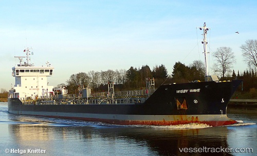
 WISBY WAVE
Current Status
Where is the vessel?
WISBY WAVE is currently in Near Ruan Minor, based on AIS data received less than 1h ago.
Latest AIS update:
Current position: 49.84920° N, 5.19264° W (Near Ruan Minor)
Average speed (last 7 days): Loading…
Average speed (last 30 days): Loading…
Vessel profile: WISBY WAVE is a Oil/Chemical Tanker with dimensions m x m.
This page combines live AIS, route history, probable destination signals, nearby traffic, and port activity for practical vessel monitoring.
The current position of vessel WISBY WAVE is 49.84920 lat / -5.19264 lng. Updated: 2026-05-14 04:15:11 UTCNearest reference points:
- Near Cadgwith
- Near Flushing
- Near Falmouth
Currently sailing under the flag of Netherlands ![]()
Details:
Live Vessel WISBY WAVE Analytics (details, animations, etc.)
Recent AIS points (UTC):
2026-05-14 01:37:12 UTC · 49.92216, -5.93262 · SOG 10.6 kn · COG 103°2026-05-14 01:52:03 UTC · 49.91146, -5.86817 · SOG 10.7 kn · COG 105°
2026-05-14 03:23:21 UTC · 49.87201, -5.44454 · SOG 11.5 kn · COG 96°
2026-05-14 04:15:11 UTC · 49.84920, -5.19264 · SOG 11.5 kn · COG 87°