 vesseltracker.com
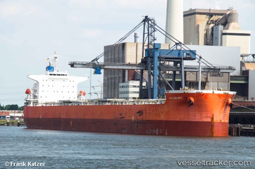
 STAR SKY
Current Status
Where is the vessel?
STAR SKY is currently in Near Saint-Pol-sur-Mer, based on AIS data received about 1h ago.
Latest AIS update:
Current position: 51.04965° N, 2.30985° E (Near Saint-Pol-sur-Mer)
Average speed (last 7 days): Loading…
Average speed (last 30 days): Loading…
Vessel profile: STAR SKY is a Bulk Carrier with dimensions m x m.
This page combines live AIS, route history, probable destination signals, nearby traffic, and port activity for practical vessel monitoring.
The current position of vessel STAR SKY is 51.04965 lat / 2.30985 lng. Updated: 2026-05-15 15:30:38 UTCNearest reference points:
- Near Dunkerque
- Near ARQUES
- Near Lombardsijde
Currently sailing under the flag of Liberia ![]()
Details:
Live Vessel STAR SKY Analytics (details, animations, etc.)
Recent AIS points (UTC):
2026-05-15 11:43:10 UTC · 51.05036, 2.31434 · SOG 0 kn · COG 86°2026-05-15 13:06:58 UTC · 51.05037, 2.31434 · SOG 0 kn · COG 86°
2026-05-15 13:27:57 UTC · 51.05039, 2.31430 · SOG 0 kn · COG 86°
2026-05-15 15:30:38 UTC · 51.04965, 2.30985 · SOG 0 kn · COG 73°