 vesseltracker.com
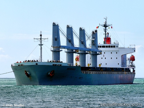
 INOI
INOI
Current Status
Where is the vessel?
INOI is currently in 14 nm E of Puerto de Sagunto, based on AIS data received about 1h ago.
Latest AIS update:
Current position: 39.57802° N, 0.07994° E (14 nm E of Puerto de Sagunto)
Average speed (last 7 days): Loading…
Average speed (last 30 days): Loading…
Vessel profile: INOI is a General Cargo with dimensions m x m.
This page combines live AIS, route history, probable destination signals, nearby traffic, and port activity for practical vessel monitoring.
The current position of vessel INOI is 39.57802 lat / 0.07994 lng. Updated: 2026-05-15 01:14:05 UTCNearest reference points:
- 21 nm E of Llombai
- Near BURRIANA
- Near Puebla de Farnals
Currently sailing under the flag of Marshall Islands ![]()
Details:
Live Vessel INOI Analytics (details, animations, etc.)
Recent AIS points (UTC):
2026-05-14 22:22:25 UTC · 39.54080, 0.03689 · SOG 0.8 kn · COG 169°2026-05-14 22:57:35 UTC · 39.53496, 0.03070 · SOG 0.8 kn · COG 176°
2026-05-14 23:47:15 UTC · 39.52705, 0.02038 · SOG 0.8 kn · COG 259°
2026-05-15 01:14:05 UTC · 39.57802, 0.07994 · SOG 5.9 kn · COG 43°