 vesseltracker.com
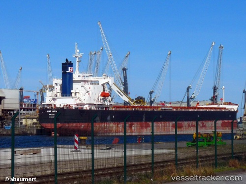
Star Maria
Current StatusWhere is the vessel?
Star Maria is currently in 15 nm SE of Rio Grande, based on AIS data received less than 1h ago.
Latest AIS update:
Current position: 32.25118° S, 51.90244° W (15 nm SE of Rio Grande)
Average speed (last 7 days): Loading…
Average speed (last 30 days): Loading…
Vessel profile: Star Maria is a Bulk Carrier with dimensions 32m x 229m.
This page combines live AIS, route history, probable destination signals, nearby traffic, and port activity for practical vessel monitoring.
The current position of vessel Star Maria is -32.25118 lat / -51.90244 lng. Updated: 2026-04-25 01:13:19 UTCNearest reference points:
- Near Rio Grande
- 24 nm SE of São José do Norte
- 55 nm SE of Chui
Details:
Live Vessel Star Maria Analytics (details, animations, etc.)
Recent AIS points (UTC):
2026-04-24 22:04:19 UTC · -32.25142, -51.90252 · SOG 0.2 kn · COG 91°2026-04-24 22:52:23 UTC · -32.25122, -51.90247 · SOG 0.3 kn · COG 92°
2026-04-24 23:43:21 UTC · -32.25134, -51.90244 · SOG 0.3 kn · COG 93°
2026-04-25 01:13:19 UTC · -32.25118, -51.90244 · SOG 0.4 kn · COG 89°