 vesseltracker.com
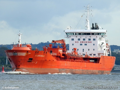
 Stavfjord
Current Status
Where is the vessel?
Stavfjord is currently in 24 nm W of Thyborøn, based on AIS data received less than 1h ago.
Latest AIS update:
Current position: 56.81112° N, 7.50075° E (24 nm W of Thyborøn)
Average speed (last 7 days): Loading…
Average speed (last 30 days): Loading…
Vessel profile: Stavfjord is a Chemical Oil Products Tanker with dimensions 144m x 23m.
This page combines live AIS, route history, probable destination signals, nearby traffic, and port activity for practical vessel monitoring.
The current position of vessel Stavfjord is 56.81112 lat / 7.50075 lng. Updated: 2026-05-15 17:53:03 UTCNearest reference points:
- Near Thyborøn
- 36 nm W of HVIDE SANDE
- Near HANSTHOLM
Currently sailing under the flag of Norway ![]()
Stavfjord built in 2009 year
Deadweight:
16635 tDetails:
Live Vessel Stavfjord Analytics (details, animations, etc.)
Recent AIS points (UTC):
2026-05-15 13:29:43 UTC · 57.41221, 8.39036 · SOG 10.2 kn · COG 237°2026-05-15 15:33:03 UTC · 57.14279, 7.97408 · SOG 10.5 kn · COG 217°
2026-05-15 16:39:02 UTC · 56.98733, 7.75176 · SOG 10.7 kn · COG 220°
2026-05-15 17:53:03 UTC · 56.81112, 7.50075 · SOG 10.9 kn · COG 211°