 vesseltracker.com
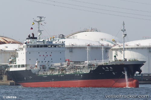
Kakumei Maru
Current StatusWhere is the vessel?
Kakumei Maru is currently in 144 nm NE of Bernard, based on AIS data received about 106d ago.
Latest AIS update:
Current position: 70.77888° N, 110.91067° W (144 nm NE of Bernard)
Average speed (last 7 days): Loading…
Average speed (last 30 days): Loading…
Vessel profile: Kakumei Maru is a Oil Products Tanker with dimensions 16m x 104m.
This page combines live AIS, route history, probable destination signals, nearby traffic, and port activity for practical vessel monitoring.
The current position of vessel Kakumei Maru is 70.77888 lat / -110.91067 lng. Updated: 2026-01-14 05:46:07 UTCDetails:
Live Vessel Kakumei Maru Analytics (details, animations, etc.)
Recent AIS points (UTC):
2026-01-14 05:46:07 UTC · 70.77888, -110.91067 · SOG 67.9 kn · COG 194°