 vesseltracker.com
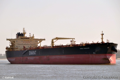
 QASR
QASR
Current Status
Where is the vessel?
QASR is currently in 43 nm NE of Utique, based on AIS data received about 2h ago.
Latest AIS update:
Current position: 37.56642° N, 10.68775° E (43 nm NE of Utique)
Average speed (last 7 days): Loading…
Average speed (last 30 days): Loading…
Vessel profile: QASR is a Crude Oil Tanker with dimensions m x m.
This page combines live AIS, route history, probable destination signals, nearby traffic, and port activity for practical vessel monitoring.
The current position of vessel QASR is 37.56642 lat / 10.68775 lng. Updated: 2026-05-17 08:08:27 UTCNearest reference points:
- 32 nm N of Qulaybiyah
- 13 nm N of Qulaybiyah
- Near Le Kram
Currently sailing under the flag of Equatorial Guinea ![]()
Details:
Live Vessel QASR Analytics (details, animations, etc.)
Recent AIS points (UTC):
2026-05-17 04:49:46 UTC · 37.33435, 11.43243 · SOG 11.6 kn · COG 303°2026-05-17 05:46:02 UTC · 37.42590, 11.23608 · SOG 11.5 kn · COG 302°
2026-05-17 08:08:27 UTC · 37.56642, 10.68775 · SOG 11.2 kn · COG 288°
2026-05-17 08:08:27 UTC · 37.56642, 10.68775 · SOG 11.2 kn · COG 288°