 vesseltracker.com
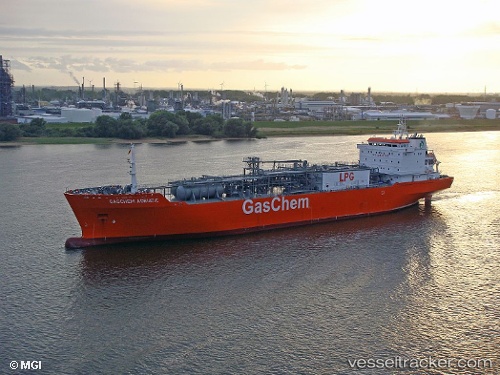
 NAVIGATOR HYPERION
Current Status
Where is the vessel?
NAVIGATOR HYPERION is currently in 52 nm S of Lajes, based on AIS data received about 1h ago.
Latest AIS update:
Current position: 37.56866° N, 28.62182° W (52 nm S of Lajes)
Average speed (last 7 days): Loading…
Average speed (last 30 days): Loading…
Vessel profile: NAVIGATOR HYPERION is a Lpg Tanker with dimensions m x m.
This page combines live AIS, route history, probable destination signals, nearby traffic, and port activity for practical vessel monitoring.
The current position of vessel NAVIGATOR HYPERION is 37.56866 lat / -28.62182 lng. Updated: 2026-05-01 19:57:59 UTCNearest reference points:
- Near Praia Da Vitoria
Currently sailing under the flag of Liberia ![]()
Details:
Live Vessel NAVIGATOR HYPERION Analytics (details, animations, etc.)
Recent AIS points (UTC):
2026-05-01 15:54:20 UTC · 37.53173, -27.31429 · SOG 17.1 kn · COG 273°2026-05-01 17:22:54 UTC · 37.55206, -27.76540 · SOG 15.6 kn · COG 271°
2026-05-01 19:17:17 UTC · 37.56317, -28.39485 · SOG 15.7 kn · COG 273°
2026-05-01 19:57:59 UTC · 37.56866, -28.62182 · SOG 16.1 kn · COG 273°