 vesseltracker.com
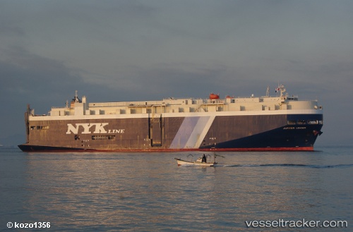
 JUPITER LEADER
Current Status
Where is the vessel?
JUPITER LEADER is currently in 164 nm NW of Wake Island, based on AIS data received about 112d ago.
Latest AIS update:
Current position: 20.82940° N, 164.17372° E (164 nm NW of Wake Island)
Average speed (last 7 days): Loading…
Average speed (last 30 days): Loading…
Vessel profile: JUPITER LEADER is a Vehicles Carrier with dimensions 183m x 31m.
This page combines live AIS, route history, probable destination signals, nearby traffic, and port activity for practical vessel monitoring.
The current position of vessel JUPITER LEADER is 20.82940 lat / 164.17372 lng. Updated: 2026-01-21 04:15:24 UTCNearest reference points:
- 233 nm W of Wake Island
Currently sailing under the flag of Panama ![]()
JUPITER LEADER built in 2008 year
Deadweight:
12889 tDetails:
Live Vessel JUPITER LEADER Analytics (details, animations, etc.)
Recent AIS points (UTC):
2026-01-21 04:15:24 UTC · 20.82940, 164.17372 · SOG 16.5 kn · COG 287°