 vesseltracker.com
 ERASMUS OASIS
Current Status
Where is the vessel?
ERASMUS OASIS is currently in 105 nm W of Hongdo, based on AIS data received less than 1h ago.
Latest AIS update:
Current position: 34.70537° N, 123.06626° E (105 nm W of Hongdo)
Average speed (last 7 days): Loading…
Average speed (last 30 days): Loading…
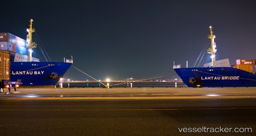
Vessel profile: ERASMUS OASIS is a Container Ship with dimensions m x m.
This page combines live AIS, route history, probable destination signals, nearby traffic, and port activity for practical vessel monitoring.
The current position of vessel ERASMUS OASIS is 34.70537 lat / 123.06626 lng. Updated: 2026-04-25 22:32:44 UTCNearest reference points:
- 102 nm W of Gageohyangri
- 111 nm W of Gageohyangri
- 77 nm W of Hongdo
Currently sailing under the flag of Marshall Islands ![]()
Details:
Live Vessel ERASMUS OASIS Analytics (details, animations, etc.)
Recent AIS points (UTC):
2026-04-25 19:58:56 UTC · 34.54927, 123.87860 · SOG 16.2 kn · COG 275°2026-04-25 20:10:26 UTC · 34.55157, 123.81564 · SOG 16.2 kn · COG 270°
2026-04-25 22:12:56 UTC · 34.68124, 123.16895 · SOG 15.9 kn · COG 284°
2026-04-25 22:32:44 UTC · 34.70537, 123.06626 · SOG 15.8 kn · COG 283°