 vesseltracker.com
 PELAGIA
Current Status
Where is the vessel?
PELAGIA is currently in 278 nm SW of Veraval, based on AIS data received about 1d ago.
Latest AIS update:
Current position: 18.62485° N, 66.06837° E (278 nm SW of Veraval)
Average speed (last 7 days): Loading…
Average speed (last 30 days): Loading…
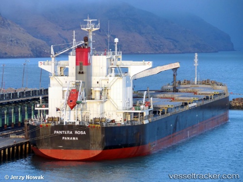
Vessel profile: PELAGIA is a Bulk Carrier with dimensions 225m x 32m.
This page combines live AIS, route history, probable destination signals, nearby traffic, and port activity for practical vessel monitoring.
The current position of vessel PELAGIA is 18.62485 lat / 66.06837 lng. Updated: 2026-05-13 14:33:32 UTCNearest reference points:
- Open sea, approx. 402 nm off the nearest listed port
- Open sea, approx. 403 nm off the nearest listed port
- Open sea, approx. 400 nm off the nearest listed port
Currently sailing under the flag of Marshall Islands ![]()
PELAGIA built in 2009 year
Deadweight:
78844 tDetails:
Live Vessel PELAGIA Analytics (details, animations, etc.)
Recent AIS points (UTC):
2026-05-13 14:33:32 UTC · 18.62485, 66.06837 · SOG 1.1 kn · COG 55°2026-05-13 14:33:32 UTC · 18.62485, 66.06837 · SOG 1.1 kn · COG 55°
2026-05-13 14:33:32 UTC · 18.62485, 66.06837 · SOG 1.1 kn · COG 55°
2026-05-13 14:33:32 UTC · 18.62485, 66.06837 · SOG 1.1 kn · COG 55°