 vesseltracker.com
 CEDAR
CEDAR
Current Status
Where is the vessel?
CEDAR is currently in Near Port Raysut, based on AIS data received less than 1h ago.
Latest AIS update:
Current position: 16.91888° N, 54.07758° E (Near Port Raysut)
Average speed (last 7 days): Loading…
Average speed (last 30 days): Loading…
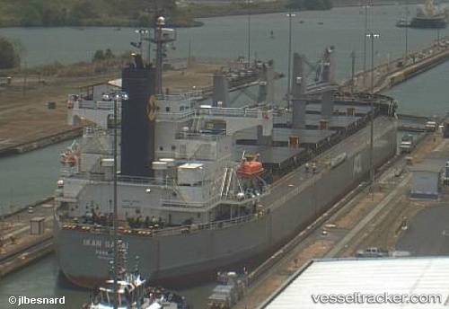
Vessel profile: CEDAR is a Bulk Carrier with dimensions 32m x 190m.
This page combines live AIS, route history, probable destination signals, nearby traffic, and port activity for practical vessel monitoring.
The current position of vessel CEDAR is 16.91888 lat / 54.07758 lng. Updated: 2026-05-13 23:41:15 UTCNearest reference points:
- 103 nm S of Port Raysut
- 106 nm S of Port Raysut
- 110 nm NE of Gross Koris
Currently sailing under the flag of Panama ![]()
CEDAR built in 2008 year
Deadweight:
58802 tDetails:
Live Vessel CEDAR Analytics (details, animations, etc.)
Recent AIS points (UTC):
2026-05-13 19:50:19 UTC · 16.91833, 54.07667 · SOG 0 kn · COG -1°2026-05-13 21:59:19 UTC · 16.91833, 54.07667 · SOG 0 kn · COG -1°
2026-05-13 22:38:21 UTC · 16.91833, 54.07667 · SOG 0 kn · COG -1°
2026-05-13 23:41:15 UTC · 16.91888, 54.07758 · SOG 0.1 kn · COG 248°