 vesseltracker.com
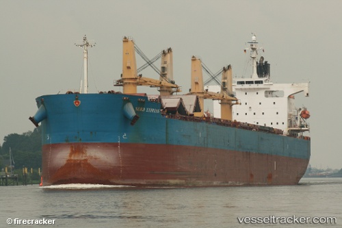
 CYCAS
CYCAS
Current Status
Where is the vessel?
CYCAS is currently in 49 nm SE of San Clodio, based on AIS data received less than 1h ago.
Latest AIS update:
Current position: 47.77167° N, 6.67833° W (49 nm SE of San Clodio)
Average speed (last 7 days): Loading…
Average speed (last 30 days): Loading…
Vessel profile: CYCAS is a Bulk Carrier with dimensions m x m.
This page combines live AIS, route history, probable destination signals, nearby traffic, and port activity for practical vessel monitoring.
The current position of vessel CYCAS is 47.77167 lat / -6.67833 lng. Updated: 2026-05-16 03:27:06 UTCNearest reference points:
- 60 nm SE of San Clodio
- 35 nm SW of Ile D’Ouessant
- 46 nm W of SEIN
Currently sailing under the flag of Panama ![]()
Details:
Live Vessel CYCAS Analytics (details, animations, etc.)
Recent AIS points (UTC):
2026-05-15 23:39:59 UTC · 48.29838, -6.26661 · SOG 9.9 kn · COG 205°2026-05-16 01:54:09 UTC · 47.98833, -6.50167 · SOG 9 kn · COG -1°
2026-05-16 02:22:00 UTC · 47.92758, -6.55677 · SOG 9.4 kn · COG 214°
2026-05-16 03:27:06 UTC · 47.77167, -6.67833 · SOG 10 kn · COG -1°