 vesseltracker.com
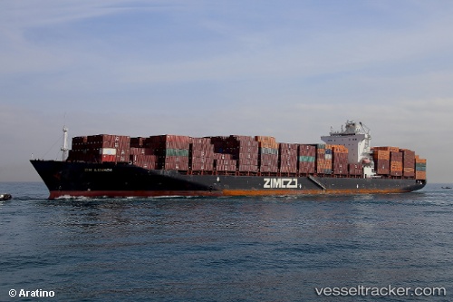
Zim Luanda
Current StatusWhere is the vessel?
Zim Luanda is currently in 32 nm NE of Langa de Duero, based on AIS data received about 1h ago.
Latest AIS update:
Current position: 42.06167° N, 32.26667° W (32 nm NE of Langa de Duero)
Average speed (last 7 days): Loading…
Average speed (last 30 days): Loading…
Vessel profile: Zim Luanda is a Container Ship with dimensions 32m x 260m.
This page combines live AIS, route history, probable destination signals, nearby traffic, and port activity for practical vessel monitoring.
The current position of vessel Zim Luanda is 42.06167 lat / -32.26667 lng. Updated: 2026-03-26 15:50:33 UTCDetails:
Live Vessel Zim Luanda Analytics (details, animations, etc.)
Recent AIS points (UTC):
2026-03-26 09:47:33 UTC · 41.73667, -30.09500 · SOG 16 kn · COG -1°2026-03-26 12:05:32 UTC · 41.86333, -30.93500 · SOG 16 kn · COG -1°
2026-03-26 14:19:23 UTC · 41.98500, -31.71833 · SOG 16 kn · COG -1°
2026-03-26 15:50:33 UTC · 42.06167, -32.26667 · SOG 15 kn · COG -1°