 vesseltracker.com
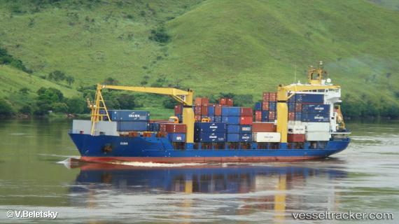
Gina
Current StatusWhere is the vessel?
Gina is currently in 60 nm NW of Nouakchott, based on AIS data received less than 1h ago.
Latest AIS update:
Current position: 18.75329° N, 16.76259° W (60 nm NW of Nouakchott)
Average speed (last 7 days): Loading…
Average speed (last 30 days): Loading…
Vessel profile: Gina is a Multi Purpose Carrier with dimensions 20m x 123m.
This page combines live AIS, route history, probable destination signals, nearby traffic, and port activity for practical vessel monitoring.
The current position of vessel Gina is 18.75329 lat / -16.76259 lng. Updated: 2026-04-30 08:06:38 UTCNearest reference points:
- 96 nm NW of Nouakchott
- 90 nm W of Nouakchott
- 108 nm SW of Port Etienne
Details:
Live Vessel Gina Analytics (details, animations, etc.)
Recent AIS points (UTC):
2026-04-30 04:16:28 UTC · 18.34220, -16.39452 · SOG 8.3 kn · COG -1°2026-04-30 05:31:58 UTC · 18.47611, -16.51616 · SOG 8.4 kn · COG -1°
2026-04-30 07:24:41 UTC · 18.66515, -16.70968 · SOG 8.7 kn · COG -1°
2026-04-30 08:06:38 UTC · 18.75329, -16.76259 · SOG 8.7 kn · COG -1°