 vesseltracker.com
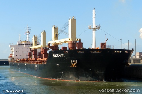
 TASAN
TASAN
Current Status
Where is the vessel?
TASAN is currently in Near Miramar, based on AIS data received less than 1h ago.
Latest AIS update:
Current position: 22.44867° N, 97.80180° W (Near Miramar)
Average speed (last 7 days): Loading…
Average speed (last 30 days): Loading…
Vessel profile: TASAN is a Bulk Carrier with dimensions 189m x 28m.
This page combines live AIS, route history, probable destination signals, nearby traffic, and port activity for practical vessel monitoring.
The current position of vessel TASAN is 22.44867 lat / -97.80180 lng. Updated: 2026-05-16 11:23:15 UTCNearest reference points:
- 25 nm E of Tuxpan
Currently sailing under the flag of Marshall Islands ![]()
TASAN built in 2010 year
Deadweight:
37852 tDetails:
Live Vessel TASAN Analytics (details, animations, etc.)
Recent AIS points (UTC):
2026-05-16 08:14:17 UTC · 22.44819, -97.80261 · SOG 0.2 kn · COG 143°2026-05-16 10:21:38 UTC · 22.44833, -97.80167 · SOG 0 kn · COG -1°
2026-05-16 10:57:39 UTC · 22.44833, -97.80167 · SOG 0 kn · COG -1°
2026-05-16 11:23:15 UTC · 22.44867, -97.80180 · SOG 0.1 kn · COG 164°