 vesseltracker.com
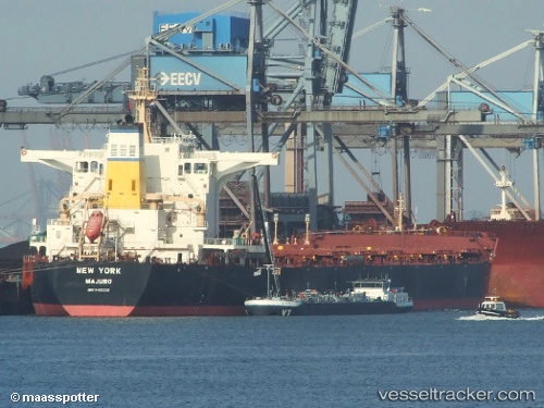
New York
Current StatusWhere is the vessel?
New York is currently in 28 nm N of Port Hedland, based on AIS data received about 1h ago.
Latest AIS update:
Current position: 19.83563° S, 118.57073° E (28 nm N of Port Hedland)
Average speed (last 7 days): Loading…
Average speed (last 30 days): Loading…
Vessel profile: New York is a Bulk Carrier with dimensions 30m x 290m.
This page combines live AIS, route history, probable destination signals, nearby traffic, and port activity for practical vessel monitoring.
The current position of vessel New York is -19.83563 lat / 118.57073 lng. Updated: 2026-05-14 20:16:33 UTCNearest reference points:
- 11 nm E of Port Walcot
- 116 nm NE of Mutineer
- 121 nm NE of Mutineer
Details:
Live Vessel New York Analytics (details, animations, etc.)
Recent AIS points (UTC):
2026-05-14 16:58:33 UTC · -19.83523, 118.56775 · SOG 0.1 kn · COG 162°2026-05-14 18:13:33 UTC · -19.83511, 118.56820 · SOG 0.1 kn · COG 172°
2026-05-14 19:13:29 UTC · -19.83512, 118.56805 · SOG 0.2 kn · COG 168°
2026-05-14 20:16:33 UTC · -19.83563, 118.57073 · SOG 0.3 kn · COG 221°