 vesseltracker.com
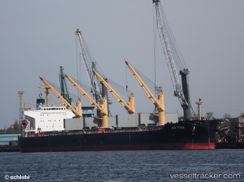
 XIN AN PING
Current Status
Where is the vessel?
XIN AN PING is currently in 14 nm SE of Hibberdene, based on AIS data received less than 1h ago.
Latest AIS update:
Current position: 30.68710° S, 30.81827° E (14 nm SE of Hibberdene)
Average speed (last 7 days): Loading…
Average speed (last 30 days): Loading…
Vessel profile: XIN AN PING is a Bulk Carrier with dimensions 190m x 190m.
This page combines live AIS, route history, probable destination signals, nearby traffic, and port activity for practical vessel monitoring.
The current position of vessel XIN AN PING is -30.68710 lat / 30.81827 lng. Updated: 2026-05-14 12:17:33 UTCNearest reference points:
- Near Island View
- Near Durban
- Near Umhlanga Rocks
Currently sailing under the flag of China Peopless Republic ![]()
XIN AN PING built in 2009 year
Deadweight:
55259 tDetails:
Live Vessel XIN AN PING Analytics (details, animations, etc.)
Recent AIS points (UTC):
2026-05-14 07:27:42 UTC · -30.06821, 31.33837 · SOG 7.3 kn · COG 212°2026-05-14 09:34:23 UTC · -30.31137, 31.12710 · SOG 10.3 kn · COG 213°
2026-05-14 10:06:42 UTC · -30.39078, 31.06795 · SOG 10.4 kn · COG 209°
2026-05-14 12:17:33 UTC · -30.68710, 30.81827 · SOG 9.1 kn · COG 216°