 vesseltracker.com
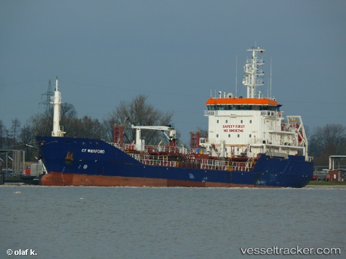
 NORE
NORE
Current Status
Where is the vessel?
NORE is currently in Near GILLELEJE, based on AIS data received less than 1h ago.
Latest AIS update:
Current position: 56.17633° N, 12.40117° E (Near GILLELEJE)
Average speed (last 7 days): Loading…
Average speed (last 30 days): Loading…
Vessel profile: NORE is a Chemical/Oil Products Tanker with dimensions 91m x 89m.
This page combines live AIS, route history, probable destination signals, nearby traffic, and port activity for practical vessel monitoring.
The current position of vessel NORE is 56.17633 lat / 12.40117 lng. Updated: 2026-05-14 20:04:40 UTCNearest reference points:
- Near Viken
- Near Helsingor
- Near Espergærde
Currently sailing under the flag of Malta ![]()
NORE built in 2007 year
Deadweight:
3569 tDetails:
Live Vessel NORE Analytics (details, animations, etc.)
Recent AIS points (UTC):
2026-05-14 16:18:00 UTC · 56.72633, 12.13817 · SOG 9.5 kn · COG 168°2026-05-14 17:26:02 UTC · 56.55083, 12.21917 · SOG 9.6 kn · COG 164°
2026-05-14 19:45:20 UTC · 56.22117, 12.38050 · SOG 8.6 kn · COG 167°
2026-05-14 20:04:40 UTC · 56.17633, 12.40117 · SOG 8.7 kn · COG 167°