 vesseltracker.com
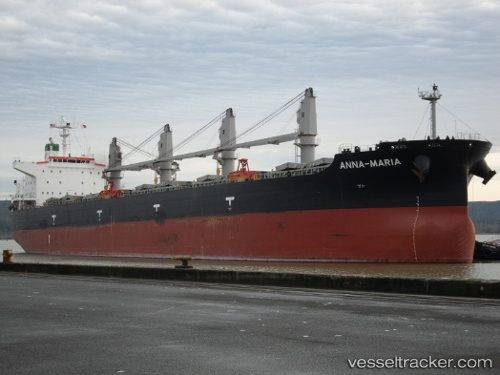
 ANNA MARIA
Current Status
Where is the vessel?
ANNA MARIA is currently in 109 nm W of Nouakchott, based on AIS data received about 1h ago.
Latest AIS update:
Current position: 18.40935° N, 17.90259° W (109 nm W of Nouakchott)
Average speed (last 7 days): Loading…
Average speed (last 30 days): Loading…
Vessel profile: ANNA MARIA is a Bulk Carrier with dimensions m x m.
This page combines live AIS, route history, probable destination signals, nearby traffic, and port activity for practical vessel monitoring.
The current position of vessel ANNA MARIA is 18.40935 lat / -17.90259 lng. Updated: 2026-04-28 07:31:12 UTCNearest reference points:
- 119 nm W of Nouakchott
- 90 nm W of Nouakchott
- 96 nm NW of Nouakchott
Currently sailing under the flag of Liberia ![]()
Details:
Live Vessel ANNA MARIA Analytics (details, animations, etc.)
Recent AIS points (UTC):
2026-04-28 03:50:22 UTC · 19.18101, -17.88591 · SOG 12.6 kn · COG 184°2026-04-28 06:22:12 UTC · 18.64689, -17.89485 · SOG 12.5 kn · COG 183°
2026-04-28 07:29:52 UTC · 18.41378, -17.90237 · SOG 12.1 kn · COG 187°
2026-04-28 07:31:12 UTC · 18.40935, -17.90259 · SOG 12 kn · COG 187°