 vesseltracker.com
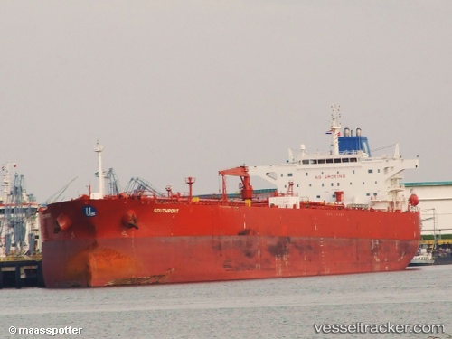
 EVITA
EVITA
Current Status
Where is the vessel?
EVITA is currently in 108 nm S of Askold, based on AIS data received less than 1h ago.
Latest AIS update:
Current position: 40.93175° N, 132.42210° E (108 nm S of Askold)
Average speed (last 7 days): Loading…
Average speed (last 30 days): Loading…
Vessel profile: EVITA is a Oil Products Tanker with dimensions m x m.
This page combines live AIS, route history, probable destination signals, nearby traffic, and port activity for practical vessel monitoring.
The current position of vessel EVITA is 40.93175 lat / 132.42210 lng. Updated: 2026-05-15 15:49:46 UTCNearest reference points:
- 110 nm S of Askold
- 113 nm S of Askold
- 75 nm S of Askold
Currently sailing under the flag of Cameroon ![]()
Details:
Live Vessel EVITA Analytics (details, animations, etc.)
Recent AIS points (UTC):
2026-05-15 12:06:46 UTC · 41.62228, 132.67084 · SOG 11.5 kn · COG 198°2026-05-15 13:31:08 UTC · 41.36022, 132.57613 · SOG 11.8 kn · COG 203°
2026-05-15 14:23:36 UTC · 41.19592, 132.51598 · SOG 11.6 kn · COG 200°
2026-05-15 15:49:46 UTC · 40.93175, 132.42210 · SOG 11.3 kn · COG 197°