 vesseltracker.com
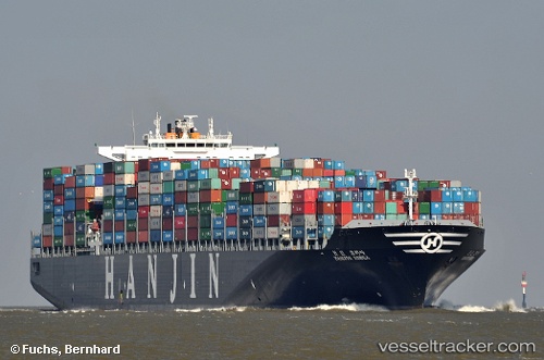
 Navios Unison
Current Status
Where is the vessel?
Navios Unison is currently in 256 nm NE of Tsuzuki Ku, based on AIS data received less than 1h ago.
Latest AIS update:
Current position: 38.22948° N, 135.44032° W (256 nm NE of Tsuzuki Ku)
Average speed (last 7 days): Loading…
Average speed (last 30 days): Loading…
Vessel profile: Navios Unison is a Container Ship with dimensions 350m x 46m.
This page combines live AIS, route history, probable destination signals, nearby traffic, and port activity for practical vessel monitoring.
The current position of vessel Navios Unison is 38.22948 lat / -135.44032 lng. Updated: 2026-05-14 15:53:36 UTCCurrently sailing under the flag of Liberia ![]()
Navios Unison built in 2010 year
Deadweight:
118800 tDetails:
Live Vessel Navios Unison Analytics (details, animations, etc.)
Recent AIS points (UTC):
2026-05-14 12:24:01 UTC · 38.72165, -136.51747 · SOG 16.4 kn · COG 120°2026-05-14 13:49:06 UTC · 38.52327, -136.08698 · SOG 16.7 kn · COG 118°
2026-05-14 14:29:59 UTC · 38.42896, -135.87363 · SOG 17 kn · COG 118°
2026-05-14 15:53:36 UTC · 38.22948, -135.44032 · SOG 17 kn · COG 121°