 vesseltracker.com
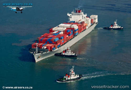
 Alexandria Bridge
Current Status
Where is the vessel?
Alexandria Bridge is currently in 72 nm W of Bonga, based on AIS data received less than 1h ago.
Latest AIS update:
Current position: 4.33498° N, 3.50887° E (72 nm W of Bonga)
Average speed (last 7 days): Loading…
Average speed (last 30 days): Loading…
Vessel profile: Alexandria Bridge is a Container Ship with dimensions 262m x 32m.
This page combines live AIS, route history, probable destination signals, nearby traffic, and port activity for practical vessel monitoring.
The current position of vessel Alexandria Bridge is 4.33498 lat / 3.50887 lng. Updated: 2026-05-14 23:54:45 UTCNearest reference points:
- Near Apapa
- Near Escravos
- Near Kirikiri
Currently sailing under the flag of Panama ![]()
Details:
Live Vessel Alexandria Bridge Analytics (details, animations, etc.)
Recent AIS points (UTC):
2026-05-14 20:00:55 UTC · 5.39333, 3.50833 · SOG 16 kn · COG -1°2026-05-14 21:57:53 UTC · 4.86667, 3.50667 · SOG 15 kn · COG -1°
2026-05-14 22:35:15 UTC · 4.69956, 3.50638 · SOG 16.1 kn · COG 181°
2026-05-14 23:54:45 UTC · 4.33498, 3.50887 · SOG 15.3 kn · COG 178°