 vesseltracker.com
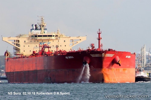
 BOND
BOND
Current Status
Where is the vessel?
BOND is currently in 115 nm W of Sebang, based on AIS data received less than 1h ago.
Latest AIS update:
Current position: 6.20667° N, 93.40500° E (115 nm W of Sebang)
Average speed (last 7 days): Loading…
Average speed (last 30 days): Loading…
Vessel profile: BOND is a Crude Oil Tanker with dimensions m x m.
This page combines live AIS, route history, probable destination signals, nearby traffic, and port activity for practical vessel monitoring.
The current position of vessel BOND is 6.20667 lat / 93.40500 lng. Updated: 2026-05-15 20:03:11 UTCNearest reference points:
- 80 nm W of Sebang
- 160 nm W of Sebang
- 172 nm W of LHOKNGA
Currently sailing under the flag of Oman ![]()
Details:
Live Vessel BOND Analytics (details, animations, etc.)
Recent AIS points (UTC):
2026-05-15 17:03:13 UTC · 6.16333, 92.72667 · SOG 13 kn · COG -1°2026-05-15 18:12:11 UTC · 6.17667, 92.98667 · SOG 13 kn · COG -1°
2026-05-15 19:42:11 UTC · 6.20167, 93.32667 · SOG 13 kn · COG -1°
2026-05-15 20:03:11 UTC · 6.20667, 93.40500 · SOG 13 kn · COG -1°