 vesseltracker.com
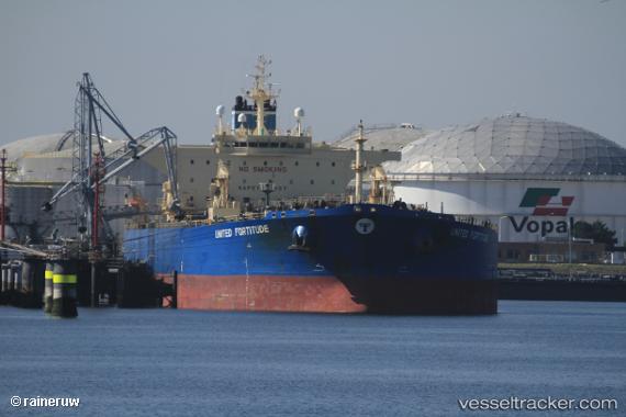
 NILANGA
Current Status
Where is the vessel?
NILANGA is currently in 17 nm W of Al Mukha, based on AIS data received less than 1h ago.
Latest AIS update:
Current position: 13.34414° N, 42.93970° E (17 nm W of Al Mukha)
Average speed (last 7 days): Loading…
Average speed (last 30 days): Loading…
Vessel profile: NILANGA is a Crude Oil Tanker with dimensions m x m.
This page combines live AIS, route history, probable destination signals, nearby traffic, and port activity for practical vessel monitoring.
The current position of vessel NILANGA is 13.34414 lat / 42.93970 lng. Updated: 2026-05-14 17:54:30 UTCNearest reference points:
- Near Djibouti
Currently sailing under the flag of Sierra Leone ![]()
Details:
Live Vessel NILANGA Analytics (details, animations, etc.)
Recent AIS points (UTC):
2026-05-14 14:10:20 UTC · 12.79654, 43.27994 · SOG 10.4 kn · COG 335°2026-05-14 15:48:03 UTC · 13.05532, 43.15486 · SOG 10.9 kn · COG 336°
2026-05-14 16:17:50 UTC · 13.13556, 43.11589 · SOG 10.2 kn · COG 330°
2026-05-14 17:54:30 UTC · 13.34414, 42.93970 · SOG 9.9 kn · COG 306°