 vesseltracker.com
 Prince Rupert
Current Status
Where is the vessel?
Prince Rupert is currently in Near Cimdenieki, based on AIS data received less than 1h ago.
Latest AIS update:
Current position: 56.53294° N, 20.99725° E (Near Cimdenieki)
Average speed (last 7 days): Loading…
Average speed (last 30 days): Loading…
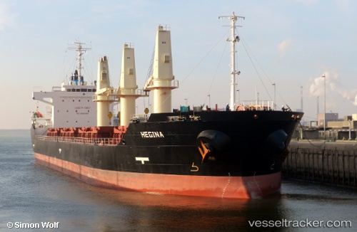
Vessel profile: Prince Rupert is a Bulk Carrier with dimensions 140m x 25m.
This page combines live AIS, route history, probable destination signals, nearby traffic, and port activity for practical vessel monitoring.
The current position of vessel Prince Rupert is 56.53294 lat / 20.99725 lng. Updated: 2026-05-17 10:02:17 UTCNearest reference points:
- Near Cimdenieki
- Near Klaipeda
- Near Ventspils
Currently sailing under the flag of Panama ![]()
Prince Rupert built in 2009 year
Deadweight:
18917 tDetails:
Live Vessel Prince Rupert Analytics (details, animations, etc.)
Recent AIS points (UTC):
2026-05-17 07:20:16 UTC · 56.53298, 20.99711 · SOG 0 kn · COG 348°2026-05-17 07:35:14 UTC · 56.53294, 20.99724 · SOG 0 kn · COG 348°
2026-05-17 09:20:14 UTC · 56.53295, 20.99723 · SOG 0 kn · COG 348°
2026-05-17 10:02:17 UTC · 56.53294, 20.99725 · SOG 0 kn · COG 348°