 ARROW
ARROW
Current Status
Where is the vessel?
ARROW is currently in 34 nm N of Assab, based on AIS data received about 14h ago.
Latest AIS update:
Current position: 13.56445° N, 42.66913° E (34 nm N of Assab)
Average speed (last 7 days): Loading…
Average speed (last 30 days): Loading…
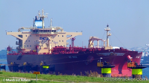
Vessel profile: ARROW is a Crude Oil Tanker with dimensions m x m.
This page combines live AIS, route history, probable destination signals, nearby traffic, and port activity for practical vessel monitoring.
The current position of vessel ARROW is 13.56445 lat / 42.66913 lng. Updated: 2026-05-24 07:30:34 UTCNearest reference points:
- Near Djibouti
- 81 nm NW of As Salif
Currently sailing under the flag of Oman ![]()
Details:
Live Vessel ARROW Analytics (details, animations, etc.)
Recent AIS points (UTC):
2026-05-24 05:01:14 UTC · 13.20224, 43.09219 · SOG 13.2 kn · COG 333°2026-05-24 06:06:12 UTC · 13.36738, 42.91627 · SOG 13.4 kn · COG 311°
2026-05-24 07:20:48 UTC · 13.54000, 42.69500 · SOG 12 kn · COG -1°
2026-05-24 07:30:34 UTC · 13.56445, 42.66913 · SOG 12.5 kn · COG 328°