 vesseltracker.com
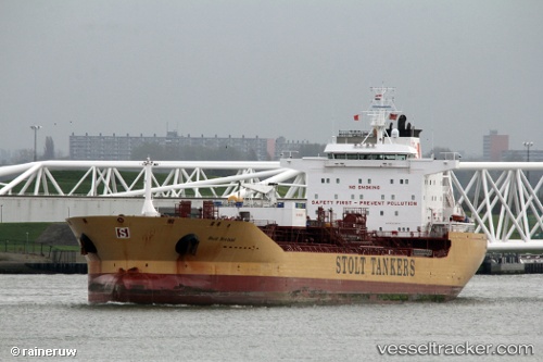
 STOLT NORLAND
Current Status
Where is the vessel?
STOLT NORLAND is currently in 186 nm SE of Quelimane, based on AIS data received about 1h ago.
Latest AIS update:
Current position: 19.88808° S, 39.37666° E (186 nm SE of Quelimane)
Average speed (last 7 days): Loading…
Average speed (last 30 days): Loading…
Vessel profile: STOLT NORLAND is a Oil/Chemical Tanker with dimensions 183m x 32m.
This page combines live AIS, route history, probable destination signals, nearby traffic, and port activity for practical vessel monitoring.
The current position of vessel STOLT NORLAND is -19.88808 lat / 39.37666 lng. Updated: 2026-05-14 05:59:33 UTCNearest reference points:
- 229 nm SE of Quelimane
- 95 nm E of Quelimane
Currently sailing under the flag of Cayman Islands ![]()
STOLT NORLAND built in 2009 year
Deadweight:
43593 tDetails:
Live Vessel STOLT NORLAND Analytics (details, animations, etc.)
Recent AIS points (UTC):
2026-05-14 02:06:51 UTC · -20.61765, 38.87330 · SOG 13.7 kn · COG 32°2026-05-14 03:54:50 UTC · -20.27745, 39.10666 · SOG 13.5 kn · COG 31°
2026-05-14 05:07:30 UTC · -20.04776, 39.26284 · SOG 13.6 kn · COG 36°
2026-05-14 05:59:33 UTC · -19.88808, 39.37666 · SOG 12.7 kn · COG 32°