 vesseltracker.com
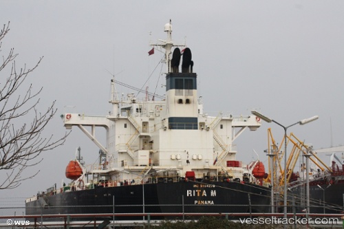
 RITA M
Current Status
Where is the vessel?
RITA M is currently in 194 nm NW of Concordia, based on AIS data received about 93d ago.
Latest AIS update:
Current position: 72.21162° S, 118.27939° E (194 nm NW of Concordia)
Average speed (last 7 days): Loading…
Average speed (last 30 days): Loading…
Vessel profile: RITA M is a Oil Products Tanker with dimensions 33m x 180m.
This page combines live AIS, route history, probable destination signals, nearby traffic, and port activity for practical vessel monitoring.
The current position of vessel RITA M is -72.21162 lat / 118.27939 lng. Updated: 2026-01-15 04:18:28 UTCCurrently sailing under the flag of Liberia ![]()
RITA M built in 2009 year
Deadweight:
45997 tDetails:
Live Vessel RITA M Analytics (details, animations, etc.)
Recent AIS points (UTC):
2026-01-15 04:18:28 UTC · -72.21162, 118.27939 · SOG 6.3 kn · COG 320°