 vesseltracker.com
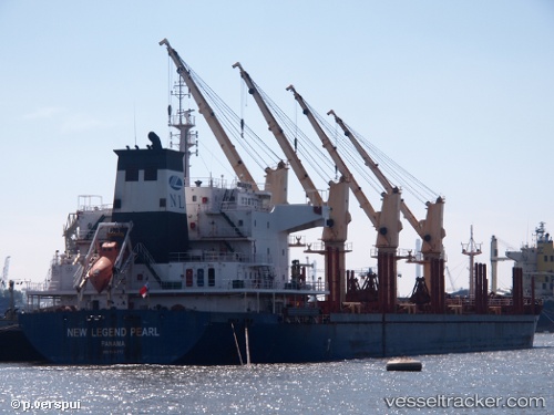
 SIGMA PEARL
Current Status
Where is the vessel?
SIGMA PEARL is currently in Near Santos, based on AIS data received about 2h ago.
Latest AIS update:
Current position: 23.94197° S, 46.31296° W (Near Santos)
Average speed (last 7 days): Loading…
Average speed (last 30 days): Loading…
Vessel profile: SIGMA PEARL is a Bulk Carrier with dimensions m x m.
This page combines live AIS, route history, probable destination signals, nearby traffic, and port activity for practical vessel monitoring.
The current position of vessel SIGMA PEARL is -23.94197 lat / -46.31296 lng. Updated: 2026-05-14 13:57:12 UTCNearest reference points:
- Near Guarujá
- Near Santos
- 30 nm SE of Guarujá
Currently sailing under the flag of Marshall Islands ![]()
Details:
Live Vessel SIGMA PEARL Analytics (details, animations, etc.)
Recent AIS points (UTC):
2026-05-14 10:20:05 UTC · -24.05812, -46.30183 · SOG 1.8 kn · COG 279°2026-05-14 12:11:36 UTC · -23.94393, -46.31156 · SOG 1.9 kn · COG -1°
2026-05-14 13:55:09 UTC · -23.94167, -46.31167 · SOG 0 kn · COG -1°
2026-05-14 13:57:12 UTC · -23.94197, -46.31296 · SOG 0 kn · COG 350°