 vesseltracker.com
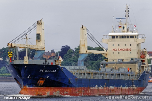
 Hc Melina
Current Status
Where is the vessel?
Hc Melina is currently in Near Tamatave, based on AIS data received about 1h ago.
Latest AIS update:
Current position: 18.09500° S, 49.41333° E (Near Tamatave)
Average speed (last 7 days): Loading…
Average speed (last 30 days): Loading…
Vessel profile: Hc Melina is a Multi Purpose Carrier with dimensions 129m x 17m.
This page combines live AIS, route history, probable destination signals, nearby traffic, and port activity for practical vessel monitoring.
The current position of vessel Hc Melina is -18.09500 lat / 49.41333 lng. Updated: 2026-05-14 16:20:49 UTCCurrently sailing under the flag of Antigua Barbuda ![]()
Hc Melina built in 2011 year
Deadweight:
9198 tDetails:
Live Vessel Hc Melina Analytics (details, animations, etc.)
Recent AIS points (UTC):
2026-05-14 13:53:47 UTC · -18.09500, 49.41333 · SOG 0 kn · COG -1°2026-05-14 14:08:52 UTC · -18.09500, 49.41333 · SOG 0 kn · COG -1°
2026-05-14 15:47:47 UTC · -18.09500, 49.41333 · SOG 0 kn · COG -1°
2026-05-14 16:20:49 UTC · -18.09500, 49.41333 · SOG 0 kn · COG -1°