 vesseltracker.com
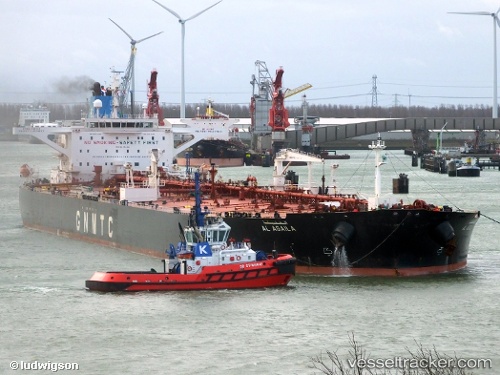
 Al Agaila
Current Status
Where is the vessel?
Al Agaila is currently in 75 nm NW of Bnei Darom, based on AIS data received less than 1h ago.
Latest AIS update:
Current position: 32.70202° N, 30.64634° E (75 nm NW of Bnei Darom)
Average speed (last 7 days): Loading…
Average speed (last 30 days): Loading…
Vessel profile: Al Agaila is a Crude Oil Tanker with dimensions 274m x 274m.
This page combines live AIS, route history, probable destination signals, nearby traffic, and port activity for practical vessel monitoring.
The current position of vessel Al Agaila is 32.70202 lat / 30.64634 lng. Updated: 2026-05-13 21:34:00 UTCNearest reference points:
- 68 nm SW of Paphos
- Near Damietta
- Near Alexandria
Currently sailing under the flag of Libya ![]()
Details:
Live Vessel Al Agaila Analytics (details, animations, etc.)
Recent AIS points (UTC):
2026-05-13 18:17:10 UTC · 32.63399, 30.59889 · SOG 1.4 kn · COG 348°2026-05-13 19:16:30 UTC · 32.65322, 30.61437 · SOG 1.6 kn · COG 345°
2026-05-13 20:15:59 UTC · 32.67458, 30.62948 · SOG 1.4 kn · COG 348°
2026-05-13 21:34:00 UTC · 32.70202, 30.64634 · SOG 1.4 kn · COG 340°