 vesseltracker.com
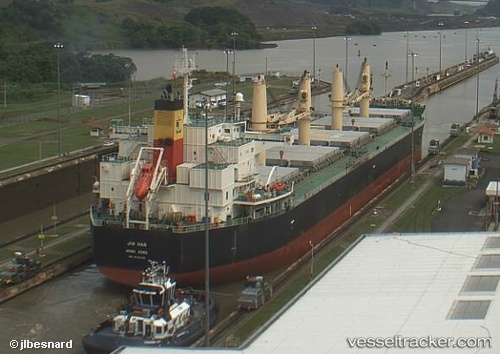
Em Ruby
Current StatusWhere is the vessel?
Em Ruby is currently in 43 nm W of Calatagan, based on AIS data received about 1h ago.
Latest AIS update:
Current position: 13.87347° N, 119.89262° E (43 nm W of Calatagan)
Average speed (last 7 days): Loading…
Average speed (last 30 days): Loading…
Vessel profile: Em Ruby is a Bulk Carrier with dimensions 32m x 190m.
This page combines live AIS, route history, probable destination signals, nearby traffic, and port activity for practical vessel monitoring.
The current position of vessel Em Ruby is 13.87347 lat / 119.89262 lng. Updated: 2026-05-15 11:33:45 UTCNearest reference points:
- 19 nm SW of MARIVELES
- Near Nasugbu, Luzon
- Near Noveleta
Details:
Live Vessel Em Ruby Analytics (details, animations, etc.)
Recent AIS points (UTC):
2026-05-15 07:09:23 UTC · 14.50647, 119.19306 · SOG 12.7 kn · COG 135°2026-05-15 10:25:01 UTC · 14.02835, 119.70340 · SOG 12.4 kn · COG 133°
2026-05-15 11:02:24 UTC · 13.94421, 119.80587 · SOG 12.6 kn · COG 131°
2026-05-15 11:33:45 UTC · 13.87347, 119.89262 · SOG 12.6 kn · COG 129°