 vesseltracker.com
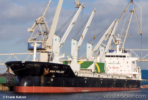
 BALKAN MARIN
Current Status
Where is the vessel?
BALKAN MARIN is currently in 34 nm SE of FINIKE, based on AIS data received less than 1h ago.
Latest AIS update:
Current position: 36.03344° N, 30.77666° E (34 nm SE of FINIKE)
Average speed (last 7 days): Loading…
Average speed (last 30 days): Loading…
Vessel profile: BALKAN MARIN is a Bulk Carrier with dimensions m x m.
This page combines live AIS, route history, probable destination signals, nearby traffic, and port activity for practical vessel monitoring.
The current position of vessel BALKAN MARIN is 36.03344 lat / 30.77666 lng. Updated: 2026-04-25 10:09:31 UTCNearest reference points:
- Near Kemer
- Near Antalya Free Zone
- Near Antalya
Currently sailing under the flag of Barbados ![]()
Details:
Live Vessel BALKAN MARIN Analytics (details, animations, etc.)
Recent AIS points (UTC):
2026-04-25 07:44:52 UTC · 36.01711, 31.41784 · SOG 13 kn · COG 270°2026-04-25 08:19:40 UTC · 36.01924, 31.26292 · SOG 12.9 kn · COG 272°
2026-04-25 10:03:40 UTC · 36.03168, 30.80175 · SOG 12.7 kn · COG 275°
2026-04-25 10:09:31 UTC · 36.03344, 30.77666 · SOG 12.7 kn · COG 275°