 vesseltracker.com
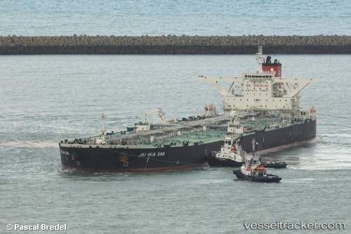
 ELIZA II
Current Status
Where is the vessel?
ELIZA II is currently in Near Cát Lái, based on AIS data received about 29d ago.
Latest AIS update:
Current position: 10.77496° N, 106.81028° E (Near Cát Lái)
Average speed (last 7 days): Loading…
Average speed (last 30 days): Loading…
Vessel profile: ELIZA II is a Crude Oil Tanker with dimensions 333m x 333m.
This page combines live AIS, route history, probable destination signals, nearby traffic, and port activity for practical vessel monitoring.
The current position of vessel ELIZA II is 10.77496 lat / 106.81028 lng. Updated: 2026-04-15 04:10:44 UTCNearest reference points:
- Near Saigon Petro Oil Terminal
- Near Cat Lai Oil Port
- Near Nhon Trach
Currently sailing under the flag of Liberia ![]()
ELIZA II built in 2009 year
Deadweight:
317977 tDetails:
Live Vessel ELIZA II Analytics (details, animations, etc.)
Recent AIS points (UTC):
2026-04-15 04:10:44 UTC · 10.77496, 106.81028 · SOG 7.4 kn · COG 51°