 vesseltracker.com
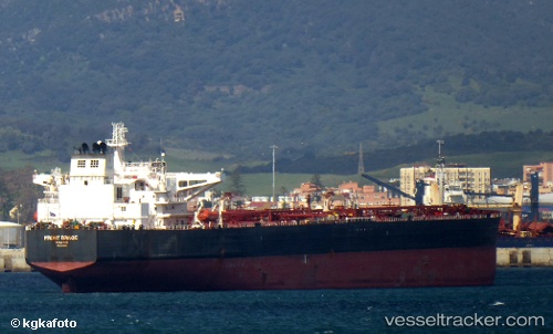
 LILA MARSEILLE
Current Status
Where is the vessel?
LILA MARSEILLE is currently in 66 nm S of Balhaf, based on AIS data received about 3h ago.
Latest AIS update:
Current position: 12.88500° N, 48.38833° E (66 nm S of Balhaf)
Average speed (last 7 days): Loading…
Average speed (last 30 days): Loading…
Vessel profile: LILA MARSEILLE is a Crude Oil Tanker with dimensions m x m.
This page combines live AIS, route history, probable destination signals, nearby traffic, and port activity for practical vessel monitoring.
The current position of vessel LILA MARSEILLE is 12.88500 lat / 48.38833 lng. Updated: 2026-05-15 00:07:04 UTCCurrently sailing under the flag of Liberia ![]()
Details:
Live Vessel LILA MARSEILLE Analytics (details, animations, etc.)
Recent AIS points (UTC):
2026-05-14 20:07:47 UTC · 12.64943, 47.57347 · SOG 12.4 kn · COG 69°2026-05-14 21:28:05 UTC · 12.72833, 47.84667 · SOG 12 kn · COG -1°
2026-05-14 22:38:18 UTC · 12.78559, 48.09179 · SOG 12.5 kn · COG 70°
2026-05-15 00:07:04 UTC · 12.88500, 48.38833 · SOG 12 kn · COG -1°