 vesseltracker.com
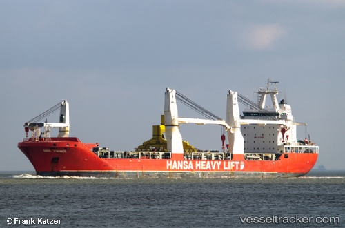
 OCEAN GLADIATOR
Current Status
Where is the vessel?
OCEAN GLADIATOR is currently in 40 nm N of Estombar, based on AIS data received about 1h ago.
Latest AIS update:
Current position: 37.78500° N, 8.20667° E (40 nm N of Estombar)
Average speed (last 7 days): Loading…
Average speed (last 30 days): Loading…
Vessel profile: OCEAN GLADIATOR is a General Cargo Ship with dimensions 166m x 23m.
This page combines live AIS, route history, probable destination signals, nearby traffic, and port activity for practical vessel monitoring.
The current position of vessel OCEAN GLADIATOR is 37.78500 lat / 8.20667 lng. Updated: 2026-05-14 13:56:46 UTCNearest reference points:
- 35 nm S of Setubal
- Near Annaba
- 33 nm SE of Setubal
Currently sailing under the flag of United States of America ![]()
OCEAN GLADIATOR built in 2010 year
Deadweight:
17704 tDetails:
Live Vessel OCEAN GLADIATOR Analytics (details, animations, etc.)
Recent AIS points (UTC):
2026-05-14 10:29:46 UTC · 37.77500, 9.27167 · SOG 14 kn · COG -1°2026-05-14 11:29:47 UTC · 37.80500, 8.96667 · SOG 14 kn · COG -1°
2026-05-14 13:32:46 UTC · 37.79167, 8.33333 · SOG 15 kn · COG -1°
2026-05-14 13:56:46 UTC · 37.78500, 8.20667 · SOG 15 kn · COG -1°