 vesseltracker.com
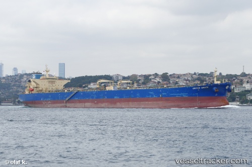
 SKIF
SKIF
Current Status
Where is the vessel?
SKIF is currently in 69 nm N of Ostrovnoy, based on AIS data received less than 1h ago.
Latest AIS update:
Current position: 69.16833° N, 38.65500° E (69 nm N of Ostrovnoy)
Average speed (last 7 days): Loading…
Average speed (last 30 days): Loading…
Vessel profile: SKIF is a Crude Oil Tanker with dimensions m x m.
This page combines live AIS, route history, probable destination signals, nearby traffic, and port activity for practical vessel monitoring.
The current position of vessel SKIF is 69.16833 lat / 38.65500 lng. Updated: 2026-04-28 12:21:23 UTCCurrently sailing under the flag of Russia ![]()
Details:
Live Vessel SKIF Analytics (details, animations, etc.)
Recent AIS points (UTC):
2026-04-28 09:22:08 UTC · 69.51033, 38.78149 · SOG 5.7 kn · COG 187°2026-04-28 09:22:08 UTC · 69.51033, 38.78149 · SOG 5.7 kn · COG 187°
2026-04-28 12:02:56 UTC · 69.20047, 38.66654 · SOG 6.2 kn · COG 187°
2026-04-28 12:21:23 UTC · 69.16833, 38.65500 · SOG 6 kn · COG -1°