 vesseltracker.com
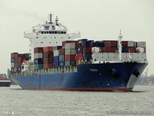
 RIO KOBE
Current Status
Where is the vessel?
RIO KOBE is currently in 13 nm SE of Maji Shan, based on AIS data received less than 1h ago.
Latest AIS update:
Current position: 30.47021° N, 122.51853° E (13 nm SE of Maji Shan)
Average speed (last 7 days): Loading…
Average speed (last 30 days): Loading…
Vessel profile: RIO KOBE is a Container Ship with dimensions m x m.
This page combines live AIS, route history, probable destination signals, nearby traffic, and port activity for practical vessel monitoring.
The current position of vessel RIO KOBE is 30.47021 lat / 122.51853 lng. Updated: 2026-05-02 10:26:31 UTCNearest reference points:
- 14 nm NE of JINHAI HEAVY INDUSTR
- 10 nm NE of JINHAI HEAVY INDUSTR
- 16 nm E of JINHAI HEAVY INDUSTR
Currently sailing under the flag of Liberia ![]()
Details:
Live Vessel RIO KOBE Analytics (details, animations, etc.)
Recent AIS points (UTC):
2026-05-02 07:20:33 UTC · 30.47150, 122.51884 · SOG 0 kn · COG 266°2026-05-02 07:26:39 UTC · 30.47149, 122.51892 · SOG 0 kn · COG 267°
2026-05-02 09:56:36 UTC · 30.47048, 122.51895 · SOG 0 kn · COG 316°
2026-05-02 10:26:31 UTC · 30.47021, 122.51853 · SOG 0 kn · COG 325°