 vesseltracker.com
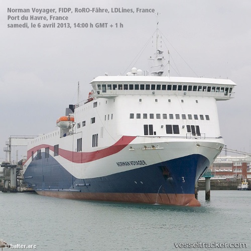
 LIVIA
LIVIA
Current Status
Where is the vessel?
LIVIA is currently in Near Island Bay, based on AIS data received less than 1h ago.
Latest AIS update:
Current position: 41.38131° S, 174.82637° E (Near Island Bay)
Average speed (last 7 days): Loading…
Average speed (last 30 days): Loading…
Vessel profile: LIVIA is a Ro-Ro/Passenger Ship with dimensions m x m.
This page combines live AIS, route history, probable destination signals, nearby traffic, and port activity for practical vessel monitoring.
The current position of vessel LIVIA is -41.38131 lat / 174.82637 lng. Updated: 2026-04-27 09:48:51 UTCNearest reference points:
- Near WAIKAWA
- Near Renwick
- Near Nelson
Currently sailing under the flag of Bahamas ![]()
Details:
Live Vessel LIVIA Analytics (details, animations, etc.)
Recent AIS points (UTC):
2026-04-27 05:54:01 UTC · -41.28333, 174.00667 · SOG 0 kn · COG -1°2026-04-27 07:47:15 UTC · -41.24117, 174.21272 · SOG 17.5 kn · COG 90°
2026-04-27 07:53:53 UTC · -41.24023, 174.25537 · SOG 17.5 kn · COG 66°
2026-04-27 09:48:51 UTC · -41.38131, 174.82637 · SOG 14.5 kn · COG 62°