 vesseltracker.com
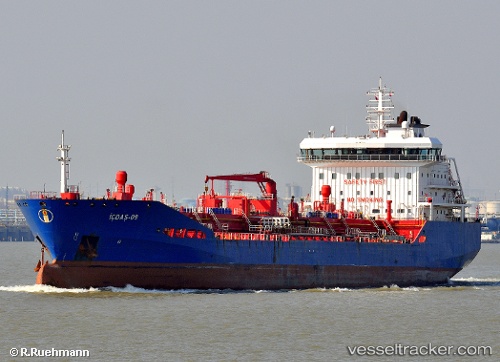
 KITIKMEOT W
Current Status
Where is the vessel?
KITIKMEOT W is currently in Near Craven Arms, based on AIS data received less than 1h ago.
Latest AIS update:
Current position: 52.30562° N, 2.76672° E (Near Craven Arms)
Average speed (last 7 days): Loading…
Average speed (last 30 days): Loading…
Vessel profile: KITIKMEOT W is a Oil/Chemical Tanker with dimensions m x m.
This page combines live AIS, route history, probable destination signals, nearby traffic, and port activity for practical vessel monitoring.
The current position of vessel KITIKMEOT W is 52.30562 lat / 2.76672 lng. Updated: 2026-05-14 21:59:26 UTCNearest reference points:
- Near Craven Arms
- 21 nm S of Craven Arms
- Near Hunsdon
Currently sailing under the flag of Marshall Islands ![]()
Details:
Live Vessel KITIKMEOT W Analytics (details, animations, etc.)
Recent AIS points (UTC):
2026-05-14 17:24:33 UTC · 53.21642, 3.39654 · SOG 13.5 kn · COG 202°2026-05-14 19:45:04 UTC · 52.71523, 3.08480 · SOG 12.5 kn · COG 205°
2026-05-14 20:04:25 UTC · 52.65742, 3.03560 · SOG 11.5 kn · COG 208°
2026-05-14 21:59:26 UTC · 52.30562, 2.76672 · SOG 11.6 kn · COG 204°