 vesseltracker.com
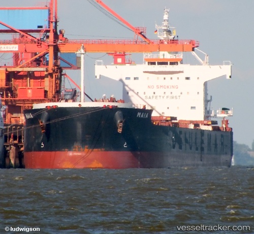
 Maia
Maia
Current Status
Where is the vessel?
Maia is currently in Near San Nicolas, based on AIS data received about 1h ago.
Latest AIS update:
Current position: 33.28709° S, 60.22206° W (Near San Nicolas)
Average speed (last 7 days): Loading…
Average speed (last 30 days): Loading…
Vessel profile: Maia is a Bulk Carrier with dimensions 229m x 33m.
This page combines live AIS, route history, probable destination signals, nearby traffic, and port activity for practical vessel monitoring.
The current position of vessel Maia is -33.28709 lat / -60.22206 lng. Updated: 2026-05-14 20:19:19 UTCNearest reference points:
- 10 nm NW of San Pedro
- Near Quebracho/San Lorenzo
- Near Puerto Alumbrera
Currently sailing under the flag of Marshall Is ![]()
Maia built in 2009 year
Deadweight:
82193 tDetails:
Live Vessel Maia Analytics (details, animations, etc.)
Recent AIS points (UTC):
2026-05-14 16:21:18 UTC · -33.12209, -60.51069 · SOG 0 kn · COG 331°2026-05-14 17:24:20 UTC · -33.12208, -60.51071 · SOG 0 kn · COG 331°
2026-05-14 19:20:12 UTC · -33.18546, -60.36051 · SOG 12.6 kn · COG 68°
2026-05-14 20:19:19 UTC · -33.28709, -60.22206 · SOG 10.2 kn · COG 122°