 vesseltracker.com
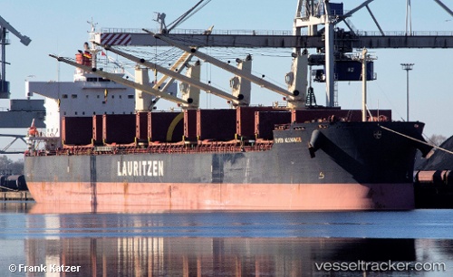
Ever Alliance
Current StatusWhere is the vessel?
Ever Alliance is currently in Near Huaral, based on AIS data received less than 1h ago.
Latest AIS update:
Current position: 11.58428° S, 77.27720° W (Near Huaral)
Average speed (last 7 days): Loading…
Average speed (last 30 days): Loading…
Vessel profile: Ever Alliance is a Bulk Carrier with dimensions 32m x 186m.
This page combines live AIS, route history, probable destination signals, nearby traffic, and port activity for practical vessel monitoring.
The current position of vessel Ever Alliance is -11.58428 lat / -77.27720 lng. Updated: 2026-05-14 04:21:16 UTCNearest reference points:
- Near Callao
- 43 nm SW of Barranca
- 125 nm SW of Supe Bay
Details:
Live Vessel Ever Alliance Analytics (details, animations, etc.)
Recent AIS points (UTC):
2026-05-14 01:36:18 UTC · -11.58428, -77.27722 · SOG 0.1 kn · COG 314°2026-05-14 02:09:16 UTC · -11.58424, -77.27722 · SOG 0.2 kn · COG 315°
2026-05-14 04:06:16 UTC · -11.58431, -77.27723 · SOG 0.1 kn · COG 315°
2026-05-14 04:21:16 UTC · -11.58428, -77.27720 · SOG 0.1 kn · COG 314°