 vesseltracker.com
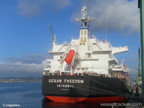
 Ocean Freedom
Current Status
Where is the vessel?
Ocean Freedom is currently in 26 nm S of Quequen, based on AIS data received less than 1h ago.
Latest AIS update:
Current position: 39.01831° S, 58.66319° W (26 nm S of Quequen)
Average speed (last 7 days): Loading…
Average speed (last 30 days): Loading…
Vessel profile: Ocean Freedom is a Bulk Carrier with dimensions 190m x 33m.
This page combines live AIS, route history, probable destination signals, nearby traffic, and port activity for practical vessel monitoring.
The current position of vessel Ocean Freedom is -39.01831 lat / -58.66319 lng. Updated: 2026-05-13 21:45:11 UTCNearest reference points:
- Near NECOCHEA
- Near Mar Del Plata
Currently sailing under the flag of Liberia ![]()
Ocean Freedom built in 2010 year
Deadweight:
55771 tDetails:
Live Vessel Ocean Freedom Analytics (details, animations, etc.)
Recent AIS points (UTC):
2026-05-13 17:17:32 UTC · -38.93800, -58.46855 · SOG 5.8 kn · COG 343°2026-05-13 19:32:09 UTC · -38.94783, -58.55847 · SOG 3.2 kn · COG 226°
2026-05-13 19:51:02 UTC · -38.95749, -58.57338 · SOG 2.9 kn · COG 227°
2026-05-13 21:45:11 UTC · -39.01831, -58.66319 · SOG 2.5 kn · COG 277°