 vesseltracker.com
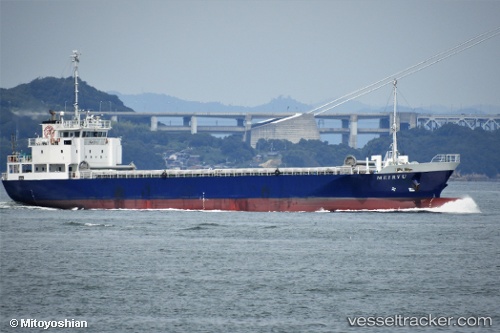
Meiryu Maru
Current StatusWhere is the vessel?
Meiryu Maru is currently in Near MARUGAME, based on AIS data received less than 1h ago.
Latest AIS update:
Current position: 34.36475° N, 133.76035° E (Near MARUGAME)
Average speed (last 7 days): Loading…
Average speed (last 30 days): Loading…
Vessel profile: Meiryu Maru is a General Cargo Ship with dimensions 12m x 76m.
This page combines live AIS, route history, probable destination signals, nearby traffic, and port activity for practical vessel monitoring.
The current position of vessel Meiryu Maru is 34.36475 lat / 133.76035 lng. Updated: 2026-05-14 12:00:30 UTCNearest reference points:
- Near Sakaide
- Near MIZUSHIMA
- Near Ayagawa
Details:
Live Vessel Meiryu Maru Analytics (details, animations, etc.)
Recent AIS points (UTC):
2026-05-14 07:52:49 UTC · 34.52432, 134.69489 · SOG 11.8 kn · COG 253°2026-05-14 10:27:30 UTC · 34.43758, 134.11348 · SOG 12.3 kn · COG 292°
2026-05-14 10:58:08 UTC · 34.42336, 133.99554 · SOG 12.6 kn · COG 265°
2026-05-14 12:00:30 UTC · 34.36475, 133.76035 · SOG 10.2 kn · COG 257°