 vesseltracker.com
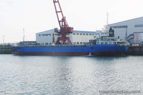
Hoju
Current StatusWhere is the vessel?
Hoju is currently in Near Nada-Ku, Hyogo, based on AIS data received less than 1h ago.
Latest AIS update:
Current position: 34.66013° N, 135.29285° E (Near Nada-Ku, Hyogo)
Average speed (last 7 days): Loading…
Average speed (last 30 days): Loading…
Vessel profile: Hoju is a General Cargo Ship with dimensions 12m x 76m.
This page combines live AIS, route history, probable destination signals, nearby traffic, and port activity for practical vessel monitoring.
The current position of vessel Hoju is 34.66013 lat / 135.29285 lng. Updated: 2026-05-15 00:17:35 UTCNearest reference points:
- Near Nada-Ku, Hyogo
- Near Kobe
- Near Hyogo
Details:
Live Vessel Hoju Analytics (details, animations, etc.)
Recent AIS points (UTC):
2026-05-14 19:55:45 UTC · 34.68558, 135.31551 · SOG 0 kn · COG 61°2026-05-14 21:25:17 UTC · 34.68563, 135.31548 · SOG 0 kn · COG 67°
2026-05-14 22:23:57 UTC · 34.68567, 135.31541 · SOG 0 kn · COG 69°
2026-05-15 00:17:35 UTC · 34.66013, 135.29285 · SOG 10 kn · COG 202°