 vesseltracker.com
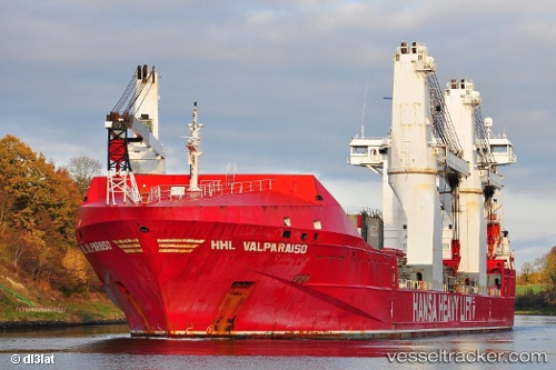
 PALMGRACHT
Current Status
Where is the vessel?
PALMGRACHT is currently in Near Brownsville, based on AIS data received about 1h ago.
Latest AIS update:
Current position: 25.95167° N, 97.39721° W (Near Brownsville)
Average speed (last 7 days): Loading…
Average speed (last 30 days): Loading…
Vessel profile: PALMGRACHT is a General Cargo Ship with dimensions 168m x 26m.
This page combines live AIS, route history, probable destination signals, nearby traffic, and port activity for practical vessel monitoring.
The current position of vessel PALMGRACHT is 25.95167 lat / -97.39721 lng. Updated: 2026-05-14 11:43:36 UTCNearest reference points:
- Near Corpus Christi
- Near ARANSAS PASS
- Near PORT ARANSAS
Currently sailing under the flag of Netherlands ![]()
PALMGRACHT built in 2010 year
Deadweight:
19413 tDetails:
Live Vessel PALMGRACHT Analytics (details, animations, etc.)
Recent AIS points (UTC):
2026-05-14 08:13:34 UTC · 25.95166, -97.39720 · SOG 0 kn · COG 70°2026-05-14 10:07:34 UTC · 25.95166, -97.39722 · SOG 0 kn · COG 68°
2026-05-14 11:16:37 UTC · 25.95163, -97.39720 · SOG 0 kn · COG 69°
2026-05-14 11:43:36 UTC · 25.95167, -97.39721 · SOG 0 kn · COG 69°