 vesseltracker.com
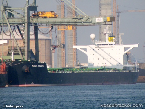
Maha Anosha
Current StatusWhere is the vessel?
Maha Anosha is currently in 372 nm NE of Port Mathurin, based on AIS data received about 1h ago.
Latest AIS update:
Current position: 15.02167° S, 67.68333° E (372 nm NE of Port Mathurin)
Average speed (last 7 days): Loading…
Average speed (last 30 days): Loading…
Vessel profile: Maha Anosha is a Bulk Carrier with dimensions 45m x 288m.
This page combines live AIS, route history, probable destination signals, nearby traffic, and port activity for practical vessel monitoring.
The current position of vessel Maha Anosha is -15.02167 lat / 67.68333 lng. Updated: 2026-05-18 05:53:45 UTCNearest reference points:
- Open sea, approx. 401 nm off the nearest listed port
- Open sea, approx. 400 nm off the nearest listed port
- Open sea, approx. 402 nm off the nearest listed port
Details:
Live Vessel Maha Anosha Analytics (details, animations, etc.)
Recent AIS points (UTC):
2026-05-18 01:54:55 UTC · -14.57794, 68.37821 · SOG 12.4 kn · COG 237°2026-05-18 04:02:45 UTC · -14.81500, 68.00333 · SOG 11 kn · COG -1°
2026-05-18 04:13:57 UTC · -14.83692, 67.97275 · SOG 11.7 kn · COG 235°
2026-05-18 05:53:45 UTC · -15.02167, 67.68333 · SOG 12 kn · COG -1°