 vesseltracker.com
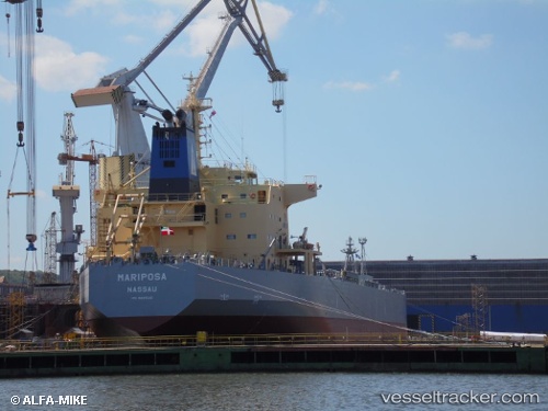
 SAN MARCOS
Current Status
Where is the vessel?
SAN MARCOS is currently in 46 nm S of Sarinena, based on AIS data received less than 1h ago.
Latest AIS update:
Current position: 41.03942° N, 10.19692° W (46 nm S of Sarinena)
Average speed (last 7 days): Loading…
Average speed (last 30 days): Loading…
Vessel profile: SAN MARCOS is a Oil/Chemical Tanker with dimensions m x m.
This page combines live AIS, route history, probable destination signals, nearby traffic, and port activity for practical vessel monitoring.
The current position of vessel SAN MARCOS is 41.03942 lat / -10.19692 lng. Updated: 2026-05-14 03:20:27 UTCNearest reference points:
- 52 nm W of Canas de Santa Maria
- 11 nm S of Sarinena
- 20 nm SE of Bear River City
Currently sailing under the flag of Malta ![]()
Details:
Live Vessel SAN MARCOS Analytics (details, animations, etc.)
Recent AIS points (UTC):
2026-05-13 23:32:03 UTC · 41.80500, -10.19833 · SOG 12 kn · COG -1°2026-05-14 01:32:08 UTC · 41.39833, -10.20333 · SOG 12 kn · COG -1°
2026-05-14 01:51:48 UTC · 41.33251, -10.20093 · SOG 12 kn · COG 176°
2026-05-14 03:20:27 UTC · 41.03942, -10.19692 · SOG 11.7 kn · COG 178°