 vesseltracker.com
 MAGIC NOVA
Current Status
Where is the vessel?
MAGIC NOVA is currently in 36 nm NW of Pointe aux Canonniers, based on AIS data received less than 1h ago.
Latest AIS update:
Current position: 19.51993° S, 57.15672° E (36 nm NW of Pointe aux Canonniers)
Average speed (last 7 days): Loading…
Average speed (last 30 days): Loading…
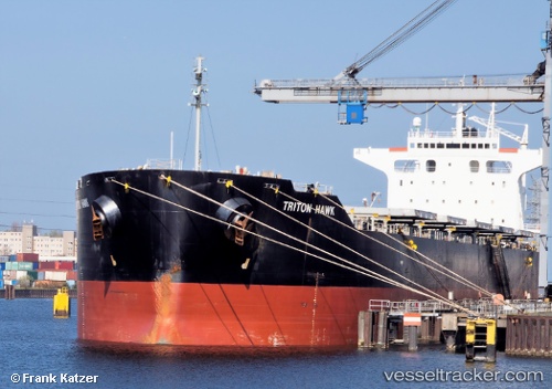
Vessel profile: MAGIC NOVA is a Bulk Carrier with dimensions 32m x 225m.
This page combines live AIS, route history, probable destination signals, nearby traffic, and port activity for practical vessel monitoring.
The current position of vessel MAGIC NOVA is -19.51993 lat / 57.15672 lng. Updated: 2026-05-16 05:24:21 UTCNearest reference points:
- Near Port Louis
- 164 nm NW of Pointe aux Canonniers
Currently sailing under the flag of Marshall Islands ![]()
MAGIC NOVA built in 2010 year
Deadweight:
78833 tDetails:
Live Vessel MAGIC NOVA Analytics (details, animations, etc.)
Recent AIS points (UTC):
2026-05-16 02:36:41 UTC · -19.77293, 56.72522 · SOG 10.6 kn · COG 58°2026-05-16 03:52:52 UTC · -19.65450, 56.92350 · SOG 10.2 kn · COG 58°
2026-05-16 04:36:41 UTC · -19.58633, 57.03608 · SOG 10.3 kn · COG 63°
2026-05-16 05:24:21 UTC · -19.51993, 57.15672 · SOG 9.6 kn · COG 64°